
Greece is beautiful. It’s also big. As one of the largest countries in Europe, there’s one item that’s essential for any budding Grecian explorer…a good map!
In this blog, we’ll walk you through everything you need to know before setting out to discover Greece for yourself – from the different regions, the types of landscapes on offer and the best ways to keep on track!
GREECE AT A GLANCE
Greece offers an abundance of different regions to discover, but today we’re going to focus on some of the most famous and beloved by travellers.
Athens
 One of the oldest cities in the world. History, art and philosophy ooze from every stone wall, all looked over by magnificent mountains.
Thessaloniki
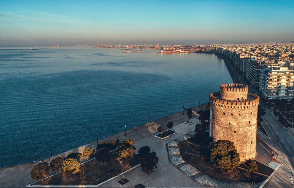
Sitting at the edge of the Aegean Sea, Thessaloniki is widely celebrated for it’s festivals and vibrant arts scene, and is a popular tourist destination.
Crete
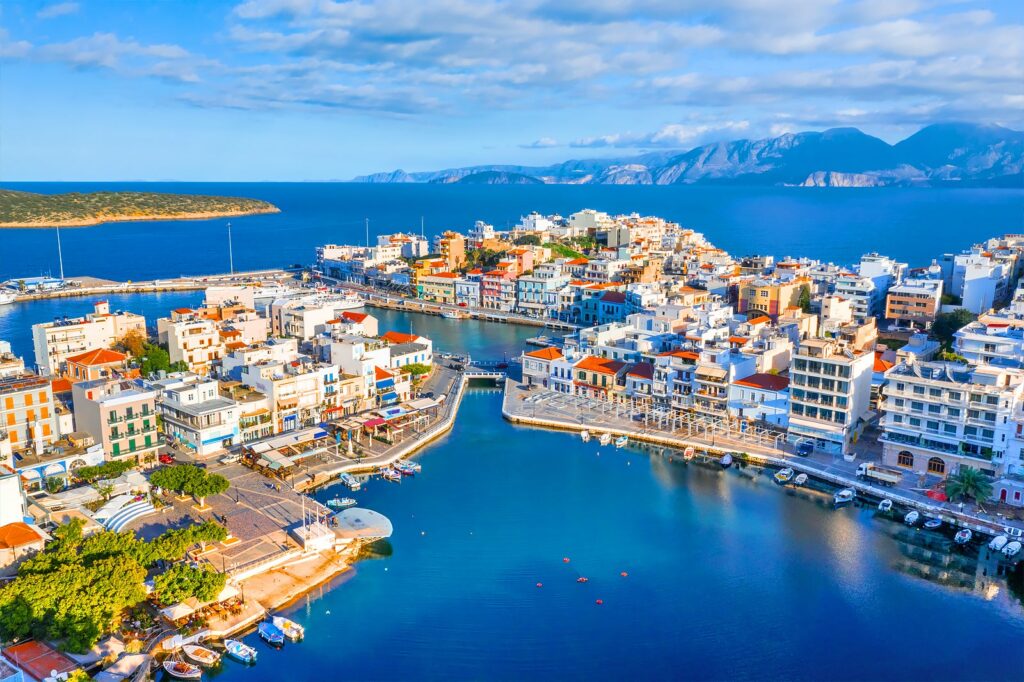
The largest of the Greek islands, Crete is characterised by a high mountain range, a number of rivers, and even some freshwater lakes.
Marathon
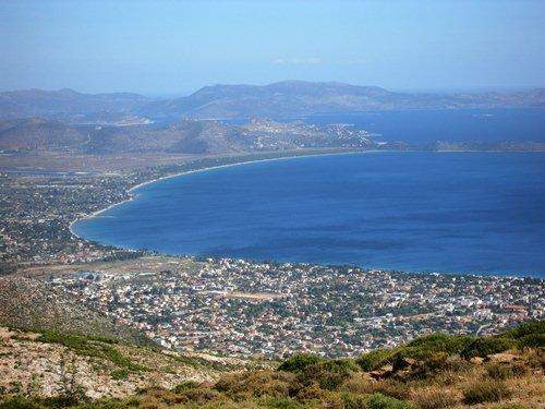 The sight of an infamous battle in 490 BCE. Mount Pentelicus is situated South West of Marathon, with a high point of 1,109 m.
While these areas offer much of the iconic secenery that travellers associate with Greece, there is also a greater variety of landscape than many people expect. Greece offers lush forests like Strofilia, the sand dunes of the Lemnos Desert and ice-age mountaintop Drakolimni (dragon lakes).
WHICH MAP?
Depending on what you choose to explore Greece, there are a wealth of different map types available to you.
TOPOGRAPHICAL
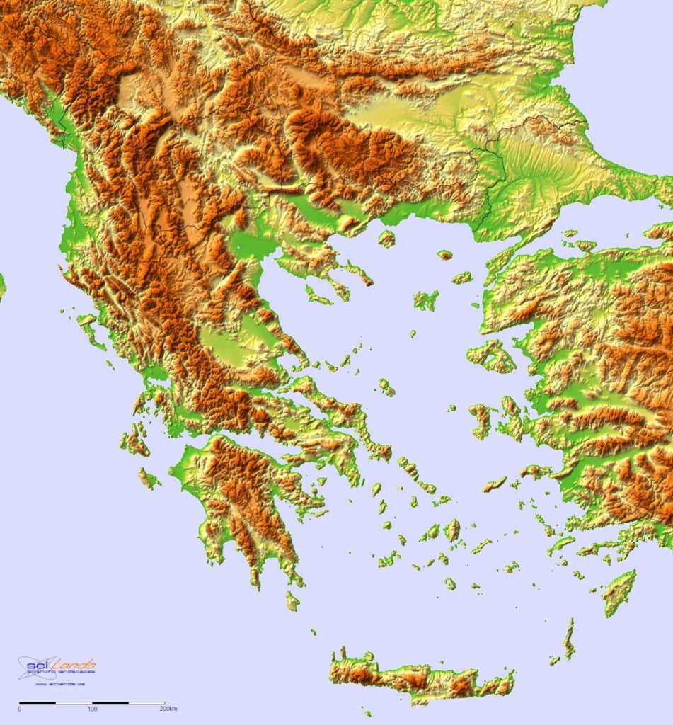 These maps give a detailed over view of terrain, using contoured lines to indicate steepness and how quickly that steepness changes. When the lines are close together, elevation is changing rapidly and steeply within a short distance. If the lines are far apart, this indicates a less steep and more gradual slope. These maps are an excellent choice if you are hiking or rambling.
POLITICAL
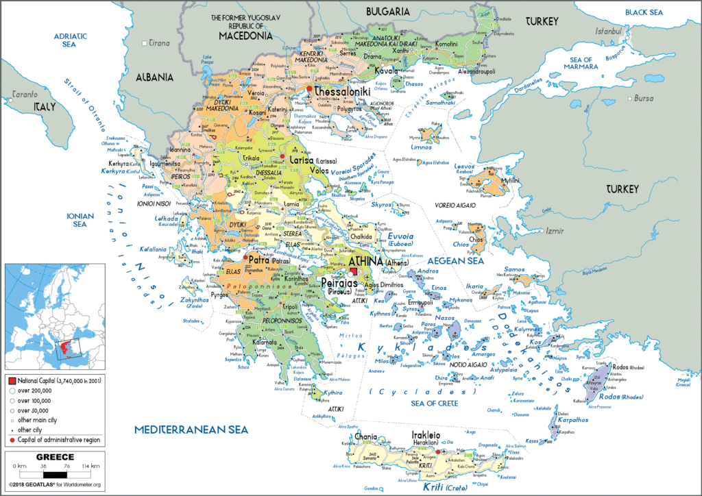 Political maps provide information about how human beings interact with any given region, including jurisdictional divisions, local government lines, consensus results and population numbers.
Political maps use symbols to represent different types of cities or town. The following map will give you an idea as to how it works.
ROAD / TRAVEL MAPS
While mobile telephones are most people’s go-to for satellite navigation, a good road map is still an essential piece of kit for any explorer. If you lose signal or your phone dies, a map will help you discover which roads you need to take, which direction you’re heading, and how long you can expect your journey to take. It will also show towns and villages that may be essential if you require a pit stop on a long journey.
A road map should feature a compass that indicates North (usually at the top of the page), as well as a list of locations and a corresponding grid reference to help you find them quickly and easily.
BEST TRAVEL MAPS
Below is a selection of Greek travel maps, for use on-and-offline.
MARCO POLO
This offer a paper map to keep with you in case of emergencies. You can find it here…Greece and Islands Marco Polo Map: 1:300 000 (Marco Polo Maps): Wegenkaart 1:300 000: Amazon.co.uk: Marco Polo: 9783829737913: Books
Remember: don’t drive and read! If you need to check your map, be sure to find a safe spot to stop first.
TOPOGRAPHICAL
Here is an excellent example of a hiking map that offers topographical information.
CONCLUSION
The question is not so much “which is the best map of Greece?” but rather “which is the best map of Greece for me?” The guide you choose depends entirely on how you wish to explore this stunning country. To recap, here’s a brief reminder of the types of map available to you:
- TOPOGRAPHICAL – Shows rise and fall of the land, ideal for hikers.
- ROAD – Probably the most useful for general travel, giving a clear layout of roads,
cities and towns.
- TOURISM – An online recourse for planning a holiday to Greece.
- POLITICAL – These show information on Greece’s citizens, include population number and types of city. Large size Political Map of Greece – Worldometer (worldometers.info)
If you’re a traveller and have a particular map that you like to use, or maybe a favourite website offering advice on travelling round Greece, we’d love to hear about it! Just drop a comment below.
All that’s left to do now is grab the one that’s right for you, and start exploring. Happy travels!